
Bhu-Aadhaar (ULPIN): Revolutionizing Land Parcel Identification in India
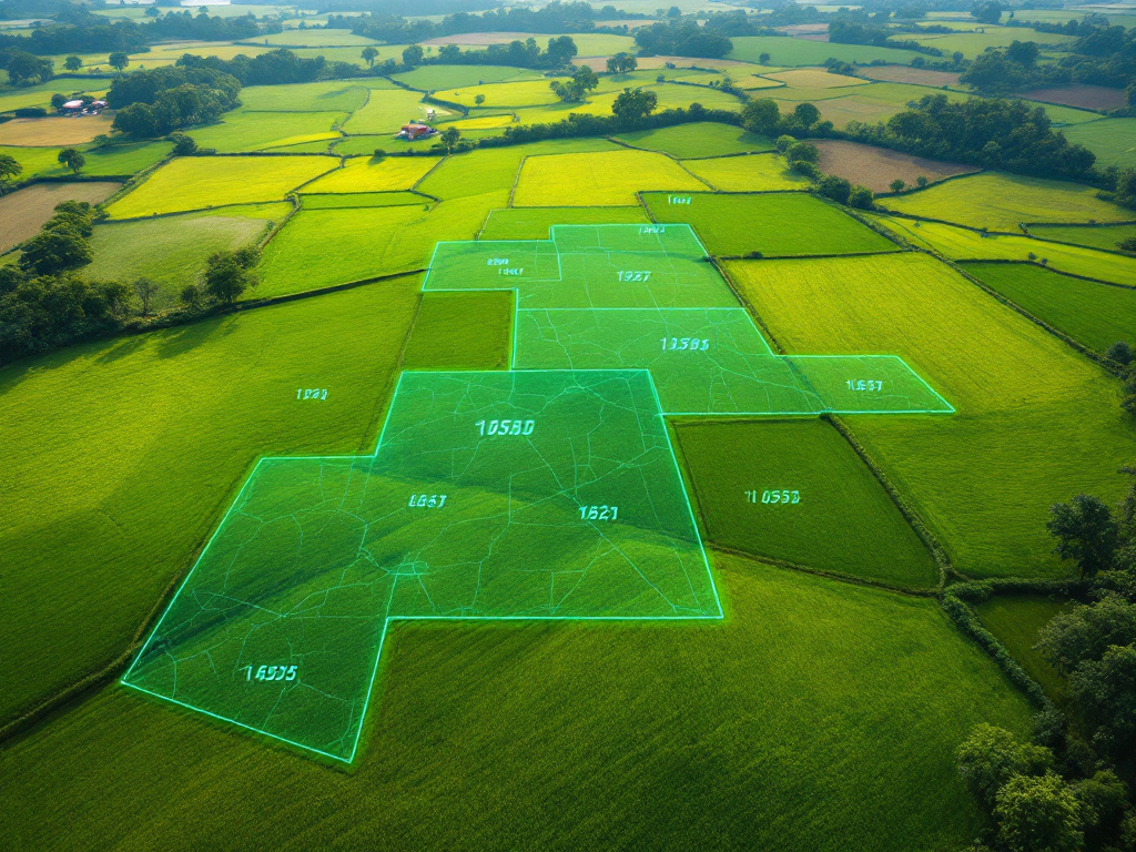
The Unique Land Parcel Identification Number (ULPIN), commonly known as Bhu-Aadhaar, is a 14-digit alphanumeric code assigned to land parcels across India. As part of the Digital India Land Records Modernisation Programme (DILRMP) launched in 2016 and extended to 2025-26, ULPIN uses geo-referenced cadastral maps and precise longitude-latitude coordinates to uniquely identify each land parcel. Rolled out in 29 states and UTs, including recent statewide initiatives in Maharashtra and Delhi, ULPIN aims to digitize land records, reduce disputes, facilitate real estate transactions, and improve transparency in land administration.
On this page
Key Facts
- The Unique Land Parcel Identification Number (ULPIN), also called Bhu-Aadhaar, is a 14-digit alphanumeric code uniquely identifying land parcels in India based on their longitudinal and latitudinal geographic coordinates.
- ULPIN is part of the Digital India Land Records Modernisation Programme (DILRMP), a central sector scheme launched in 2016 by the Department of Land Resources, Ministry of Rural Development, extended through 2025-26 with a budget allocation of Rs. 875 crore.
- By November 2025, ULPIN had been allotted to over 36 crore land parcels across 29 States and Union Territories, including Andhra Pradesh, Bihar, Maharashtra, Delhi, Uttar Pradesh, Tamil Nadu, and others.
- ULPIN complies with international standards — specifically, the Electronic Commerce Code Management Association (ECCMA) and Open Geospatial Consortium (OGC) standards — ensuring interoperability and reliability of the geo-referenced identification system.
- The code generation follows a computational formula producing a unique “Property Natural Identifier Unit” (PNIU) based on geo-referenced parcel vertices collectively termed as the “Property Natural Identifier Lot” (PNIL), effectively linking the unique ID to the surface area of the parcel.
- States including Delhi, Maharashtra, and Uttar Pradesh have launched state-level initiatives for ULPIN issuance and usage, incorporating advanced geospatial data, drone imaging, and integrated land information systems to modernize land records and ease land management.
Background & Context
Land records in India traditionally suffer from fragmentation, manual maintenance, lack of transparency, and prevalent disputes regarding ownership and boundaries. The Constitution of India lists land as a State subject, making cadastral surveys, ownership documentation, and mutation entries primarily State responsibilities.
The Digital India Land Records Modernisation Programme (DILRMP) was initiated to bring about a seamless, digital, and integrated land information management system. ULPIN serves as the cornerstone of this modernization by assigning single, authoritative, and unambiguous identification to every land parcel.
ULPIN links cadastral maps, remote sensing-derived spatial coordinates, ownership data, and other parcel attributes into a standardized framework. This facilitates easier management, reduces duplication and disputes, streamlines property transactions, and supports effective implementation and targeting of government schemes based on landholding size.
Why This Matters for Exams / Exam Relevance
The ULPIN initiative is a key example of India's efforts towards land reforms, digital governance, and transparent property management, all significant topics within governance and rural development syllabi for civil services and administrative exams.
Understanding ULPIN includes knowledge of its institutional framework (i.e., DILRMP, Department of Land Resources), technical standards (ECCMA and OGC), usage of geospatial technologies (GIS, drone surveys), and its implications for land dispute resolution, real estate transactions, and socio-economic development.
Questions can focus on scheme objectives, implementation status across states, benefits to stakeholders, and relationship with other government initiatives such as SVAMITVA.
Points to Remember
- ULPIN is a unique, 14-character alphanumeric code assigned to every land parcel using geo-referenced coordinate vertices and an internationally accepted standard.
- It is part of the Digital India Land Records Modernisation Programme (DILRMP), launched in 2016 and extended to 2025-26.
- ULPIN serves as a single, authoritative source of truth facilitating integrated land services for citizens and government agencies.
- It is implemented in 29 States and UTs with a cumulative coverage of over 36 crore land parcels as of November 2025.
- ULPIN enables better land administration, property management, real estate transactions, tax assessment, and disaster response planning.
- It reduces boundary disputes and helps determine beneficiaries for land-based schemes, supporting digital transparency and good governance.
- Technical implementation involves advanced geospatial technologies including drone imagery, cadastral mapping, and integration with land registration databases.
- ULPIN supports the Government’s Geospatial Policy 2022, moving towards Integrated Land Information Management Systems (ILIMS).
Sources & Further Reading
| Document / Website | Link |
|---|---|
| BHU Aadhaar Proposed for Land Records - GKToday | Open BHU Aadhaar Proposed for Land Records - GKToday ↗www.gktoday.in |
| Bhu-Aadhar : Unique Land Parcel Identification Number (ULPIN) | Department of Land Resources | Open Bhu-Aadhar : Unique Land Parcel Identification Number (ULPIN) | Department of Land Resources ↗dolr.gov.in |
| Digital India Land Records Modernisation Programme (DILRMP) - PIB | Open Digital India Land Records Modernisation Programme (DILRMP) - PIB ↗www.pib.gov.in |
| What is ULPIN Scheme - Testbook | Open What is ULPIN Scheme - Testbook ↗testbook.com |