
Mayon Volcano Eruption Prompts Evacuation and Alert Level 3 in Philippines
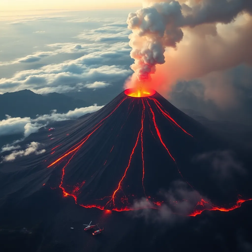
On 3 May 2026, Mayon Volcano located in Albay province, Philippines, exhibited renewed volcanic activity, including strombolian eruptions and short-lived lava fountaining, which led the Philippine Institute of Volcanology and Seismology (Phivolcs) to raise the volcano's alert status to Level 3. This alert indicates a high level of volcanic unrest with possible imminent magmatic eruption. As a result, over 5,000 residents within the six-kilometer Permanent Danger Zone were evacuated for their safety. Mayon is among the most active volcanoes in the Philippines and is part of the Pacific Ring of Fire. Phivolcs continues to monitor multiple indicators including volcanic earthquakes, rockfall events, pyroclastic density current motions, and sulfur dioxide gas emissions to assess ongoing volcanic hazards.
On this page
Key Facts
- Mayon Volcano is situated in Albay province on Luzon island, Philippines, approximately 330 kilometers southeast of Manila.
- On 3 May 2026, the Philippine Institute of Volcanology and Seismology (Phivolcs) recorded strombolian activity—intermittent bursts of lava and gas—along with short-lived lava fountaining and continuous lava effusion.
- Phivolcs raised the volcano's alert status to Level 3, denoting high volcanic unrest potentially leading to hazardous eruptions within weeks.
- The Permanent Danger Zone is established as a 6-kilometer radius around the crater where access is prohibited due to volcanic hazards including lava flows and pyroclastic density currents (PDCs).
- Pyroclastic density currents are fast-moving, ground-hugging mixtures of hot gas, volcanic ash, and fragments that can travel many kilometers and cause severe destruction.
- Approximately 1,500 families (over 5,000 individuals) were evacuated to established evacuation centers on 3 May 2026.
- In a 24-hour period, Phivolcs recorded 32 volcanic earthquakes, 284 rockfall events, 14 pyroclastic density current signals, and sulfur dioxide emissions reaching approximately 1,586 tonnes per day.
Background & Context
Mayon Volcano is a near-perfect conical stratovolcano and one of the Philippines’ most active volcanoes, contributing to the region's geologic hazards due to its frequent eruptive history. It lies along the Pacific Ring of Fire, a zone known for intense tectonic and volcanic activity. The Philippine government employs a five-level volcano alert system ranging from 0 (no alert) to 5 (hazardous eruption imminent). Alert Level 3 indicates intensified unrest with the possibility of magma nearing the surface and eruptions occurring in the upcoming weeks. This necessitates strict safety measures including evacuation of residents and enforcement of no-entry zones.
Phivolcs uses continuous monitoring of geological and geophysical parameters—including seismicity, ground deformation, gas emissions, and visual observations—to assess and forecast volcanic activity. During active periods, hazards such as pyroclastic density currents, lava flows, ashfall, and landslides pose significant risks to local populations.
Why This Matters for Exams / Exam Relevance
This case study embodies important themes in geography, environmental science, and disaster management curricula. Understanding the volcanic activity at Mayon is integral for grasping concepts related to tectonic processes of the Pacific Ring of Fire, volcanic hazard types such as pyroclastic density currents and lava flows, and the application of alert system frameworks in natural disaster response. Key elements such as alert levels, monitoring techniques, evacuation protocols, and impact analysis are frequently featured in competitive exams assessing knowledge of natural hazards and risk mitigation strategies.
Points to Remember
- Mayon Volcano eruption on 3 May 2026 triggered Alert Level 3 indicating high unrest.
- Alert Level 3 corresponds to intensified volcanic activity with possible eruption imminence in weeks.
- The Permanent Danger Zone around Mayon’s crater extends 6 kilometers and is off-limits to the public during unrest.
- Pyroclastic density currents are high-speed, hot gas-and-debris flows capable of traveling kilometers, posing extreme hazard.
- Over 5,000 people evacuated from vulnerable areas to prevent loss of life.
- Phivolcs’ monitoring includes volcanic earthquakes, rockfalls, gas emissions, and continuous lava movement.
- Mayon Volcano is part of the Pacific Ring of Fire and is one of the most active volcanoes in the Philippines.
Sources & Further Reading
| Document / Website | Link |
|---|---|
| Mayon Volcano Eruption Triggers Evacuations in Albay Province in Philippines | Open Mayon Volcano Eruption Triggers Evacuations in Albay Province in Philippines ↗www.gktoday.in |
| Philippines Evacuates Thousands After Mayon Volcano Erupts, Issues Alert Level 3 - Bloomberg | Open Philippines Evacuates Thousands After Mayon Volcano Erupts, Issues Alert Level 3 - Bloomberg ↗www.bloomberg.com |
| Volcano Alert Levels | PHIVOLCS | Open Volcano Alert Levels | PHIVOLCS ↗www.phivolcs.dost.gov.ph |