
Discovery of 200 Ancient Sites in Greece Reveals 6000 Years of Continuous History
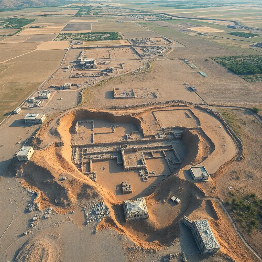
An extensive archaeological survey covering 30 square kilometers in the Eretrian plain of Evia, Greece, revealed over 200 ancient sites spanning nearly 6,000 years of human activity. Utilizing LiDAR technology, researchers uncovered a landscape of farms, quarries, settlements, and medieval roads that illustrate a complex agrarian economy supported by rural administrative units called demes. The findings provide significant insights into the socio-economic organization and continuous habitation of this region under various historical periods including Mycenaean, Roman, and Ottoman eras, emphasizing the area's historical and cultural importance.
On this page
Key Facts
- Location: Eretrian plain, Evia island, Greece
- Number of sites discovered: Over 200 ancient sites
- Time span covered: Nearly 6,000 years, from prehistoric times through medieval periods
- Technology used: LiDAR (Light Detection and Ranging), enabling high-resolution 3D mapping beneath dense vegetation
- Types of sites found: Farms, quarries, settlements, medieval roads, rock-cut olive presses
- Regional organization: Demes functioning as rural administrative units and socio-economic centers
- Notable nearby site: Sanctuary of Artemis at Amarynthos, an important religious center
- Survey conducted by: Swiss School of Archaeology in Greece (ESAG)
Background & Context
The Eretrian plain on the large Greek island of Evia demonstrates a remarkably continuous human presence spanning multiple historical eras, including Mycenaean, Roman, and Ottoman times. The area was organized into demes, which in ancient Greek city-states served as fundamental rural administrative units responsible for organizing land, governance, and socio-economic activities. The newly uncovered archaeological evidence, made accessible by advanced LiDAR technology, reveals a complex rural landscape with infrastructure such as olive presses and extensive road networks. These features supported a vibrant agrarian economy and helped maintain connectivity between settlements, the urban center of Eretria, and important religious sites such as the Sanctuary of Artemis at Amarynthos.
Why This Matters for Exams
This discovery offers crucial insights into ancient Greek rural administration, economic systems, and settlement continuity. It highlights the application of modern technologies like LiDAR in archaeology, enhancing our understanding of hidden landscapes. Knowledge of demes as central local administrative units is important for grasping the political and social structure of city-states. Additionally, understanding the historical and religious significance of Evia and Eretria enriches broader studies in ancient Greek history, spanning multiple cultural periods.
Points to Remember
- LiDAR technology can penetrate dense vegetation to reveal archaeological sites invisible to traditional surveys.
- Demes were primary rural administrative units in ancient Greek city-states, acting as socio-economic hubs.
- Evia is one of Greece’s largest islands, historically significant for its continuous human habitation.
- The Sanctuary of Artemis at Amarynthos, near Eretria, was a notable religious sanctuary.
- The Swiss School of Archaeology in Greece conducted a detailed survey over 30 square kilometers in the Eretrian plain.
- Archaeological evidence shows a sophisticated agrarian economy with infrastructure including rock-cut olive presses and connected roadways.
Sources & Further Reading
| Document / Website | Link |
|---|---|
| 200 Ancient Sites in Greece Reveal 6000 Years of History - GKToday | Open 200 Ancient Sites in Greece Reveal 6000 Years of History - GKToday ↗www.gktoday.in |
| The reforms of Cleisthenes - Ancient Greek civilization - Britannica | Open The reforms of Cleisthenes - Ancient Greek civilization - Britannica ↗www.britannica.com |